
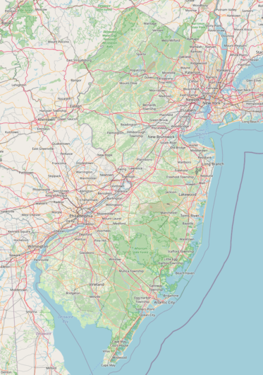
Back in August of 2009, I converted the latest available Land Use/Land Cover data for New Jersey into .OSM format and uploaded it as “NJDataUploads” to OpenStreetMap. You can read my write up of the initial uploading effort here.
While cleaning up old files, I revisited the code I had written and how I had exported the data out in “chunks” bounded by major highways. Using the old “arcgisscripting” library (the predecessor to ArcPy) I walked over the features and manually mashed together an XML file for use in a tool like JOSM. It was a great experience and I think I was able to contribute a bit to having New Jersey appear much more detailed and colorful in the earlier years of OSM, but the code and process could be so much more refined if written today. Nonetheless, the code worked and contributed (what I believe to be) the second large data import for New Jersey, after the initial loading of US Census Bureau TIGER data.
In the 12 years since I uploaded the land use data to OSM, how has it fared? Here’s a quick rundown.
In 2009, 57,894 polygons were uploaded in 76 different groups. OpenStreetMap does not have a data element of “polygon,” instead an enclosed area is one or more ways forming a loop. In order to perform this import, each polygon would need to become a way, but there are some caveats. As polygons have interior rings or very long exterior rings, sometimes you would need to have more than one way representing the polygon. I ultimately uploaded 68,430 ways. I also needed to create 2,600 multipolygon relations to properly show the land use polygons uploaded.
In 2021, oddly enough, there are actually 58,942 polygons – an increase of 1,048 – within New Jersey that have the “source=NJ2002LULC” key. This is likely due to updates over time where the original polygons were split up as modifications were made by other map editors.
31,400 of the land use polygons originally uploaded have not been modified. Still version 1.
There have been some interesting contributions to the Land Use data.
I spied a “landuse=?” tag within the data. What would have resulted in someone adding a landuse tag to a way with a question mark? The way in question is 41061328 and it’s the “inner” part of the multipolygon relation 254817. This should probably get cleaned up at some point.
A more productive set of edits were made on 39834766, where a generic “landuse=recreation_ground” was edited 9 times to updated the way to landuse=winter_sports” and to include the name, URL, and wikidata entry.
Way 39830330 was modified 11 times over 11 years, seemingly by the same user, switching it between “commercial” and “industrial” a few times.
Way 39848488 was modified 12 times as development occurred around it, refining the boundaries of the farmland polygon.
The “industrial” way (40136383) around one of the terminals in Bayonne was modified 20 times. It’s tied with this urban stretch of the Passaic River (40137094) for having the most versions of any of the data I updated back in 2009.
I’m still very proud of this effort and will be exploring some other ways I can use the land use data (and its later editions) to help update OpenStreetMap.