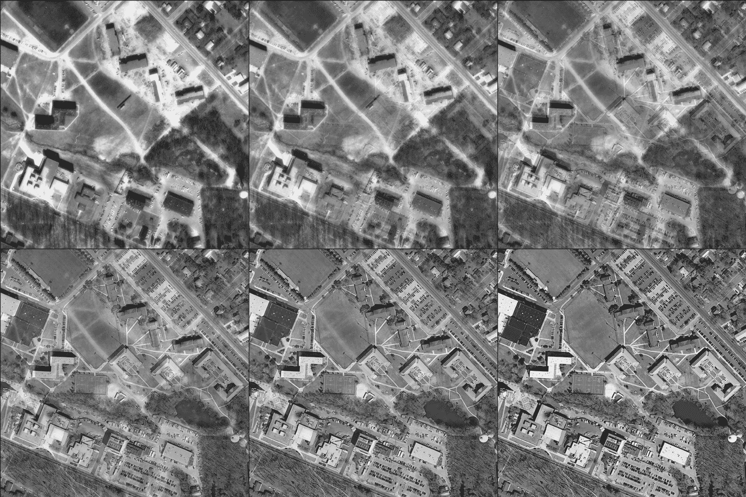
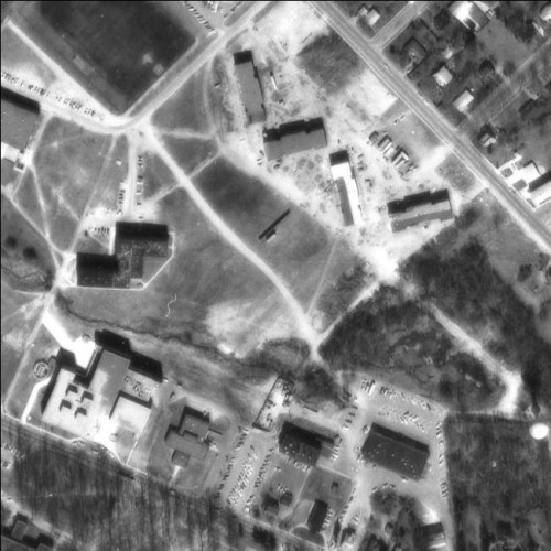
OIT has made the 1974 statewide aerial photography available via their WMS service.
Civil Solutions was the contractor that assembled the source imagery and prepared the seamless dataset for OIT.
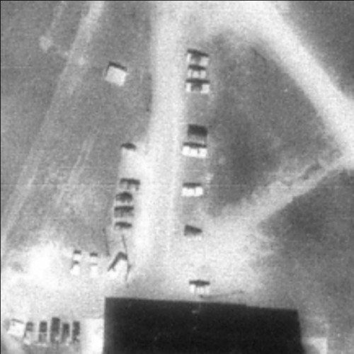
What I find amazing about the data is how clear the imagery is down to very large scale.
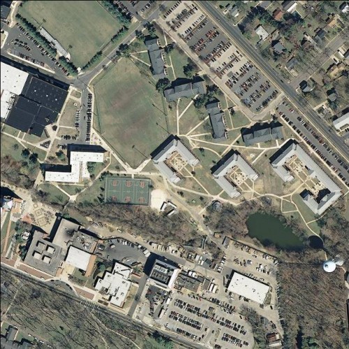
And just for fun, here’s an animation of the two images tweened, so you can see the amount of change on our campus in 33 years.

I checked EarthExplorer and there were several single aerial images from the 1950s of the area around our campus, but they aren’t georectafied and mosaicked. I may try to stitch them together so we could have images of the campus and ‘Boro from the 1930s, 1950s, 1970s and 1990s along with our more recent imagery.


Check http://www.historicaerials.com. You can order relatively inexpensive georeferenced historic aerials