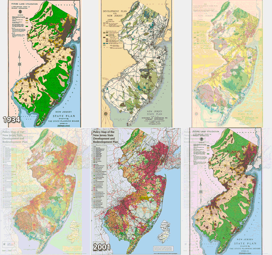
When you look at the maps produced for the NJ State Plans, you can see a not-so-surprising trend.

State Plan maps spanning 70 years.
Encourage development in and around our cities. Preserve areas of environmental importance, such as the Highlands and Pinelands. Plan accordingly for agriculture.
I’m always surprised when environmentalists and developers claim that a proposed plan or regulation will have severe ramifications one way or another. The current course on which we are traveling has been set a long time ago. We still march towards statewide build out, while simultaneously preserving thousands of acres of farmland and open space.
That being said, we still need to plan to ensure that on a micro level to ensure that development is encouraged where appropriate and that the environs protected or reserved for later growth. The 2009 New Jersey State Plan is currently available from the Office of Smart Growth‘s web page for informational purposes only. The public comment period will likely begin in June. However, you don’t have to wait until June to take a look at the draft final plan and map. I’ve also made the draft final map available on NJ State Atlas.
